Not every construction drone deliverable solves the same problem. That is where many teams get confused. They ask for drone work in general when what they really need is a specific output.
Progress photos, mapping, and 3D models all create value, but they are useful in different ways.
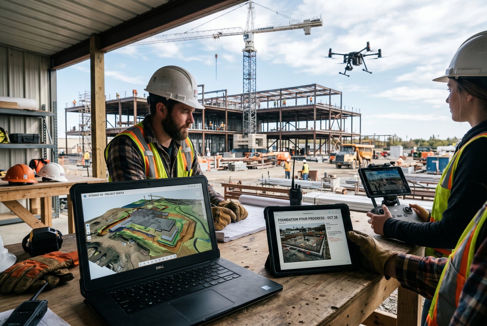
Use progress photos for visibility and reporting
If the goal is to show stakeholders how the site is changing over time, progress photos are often the right first choice. They are fast to understand, easy to share, and ideal for recurring updates.
Use drone mapping for measurable site intelligence
Mapping is more appropriate when teams need orthomosaics, measurable site views, quantity checks, grading review, or broader site verification. It is about usable site data, not just visuals.
Use 3D models when spatial understanding matters
3D models become especially useful when teams need to better understand terrain, structures, elevations, and how conditions compare to expectations. They support planning, verification, and communication across multiple disciplines.
The right answer is often a combination
Many active jobsites benefit from more than one output. Progress photos support weekly communication. Mapping supports measurement. 3D models support analysis. The right package depends on what decisions the project team needs to make.
Property HDR helps construction teams choose the deliverables that actually support the job, instead of paying for media they do not need. Request a Quote.